

brett
Simcoe
 10
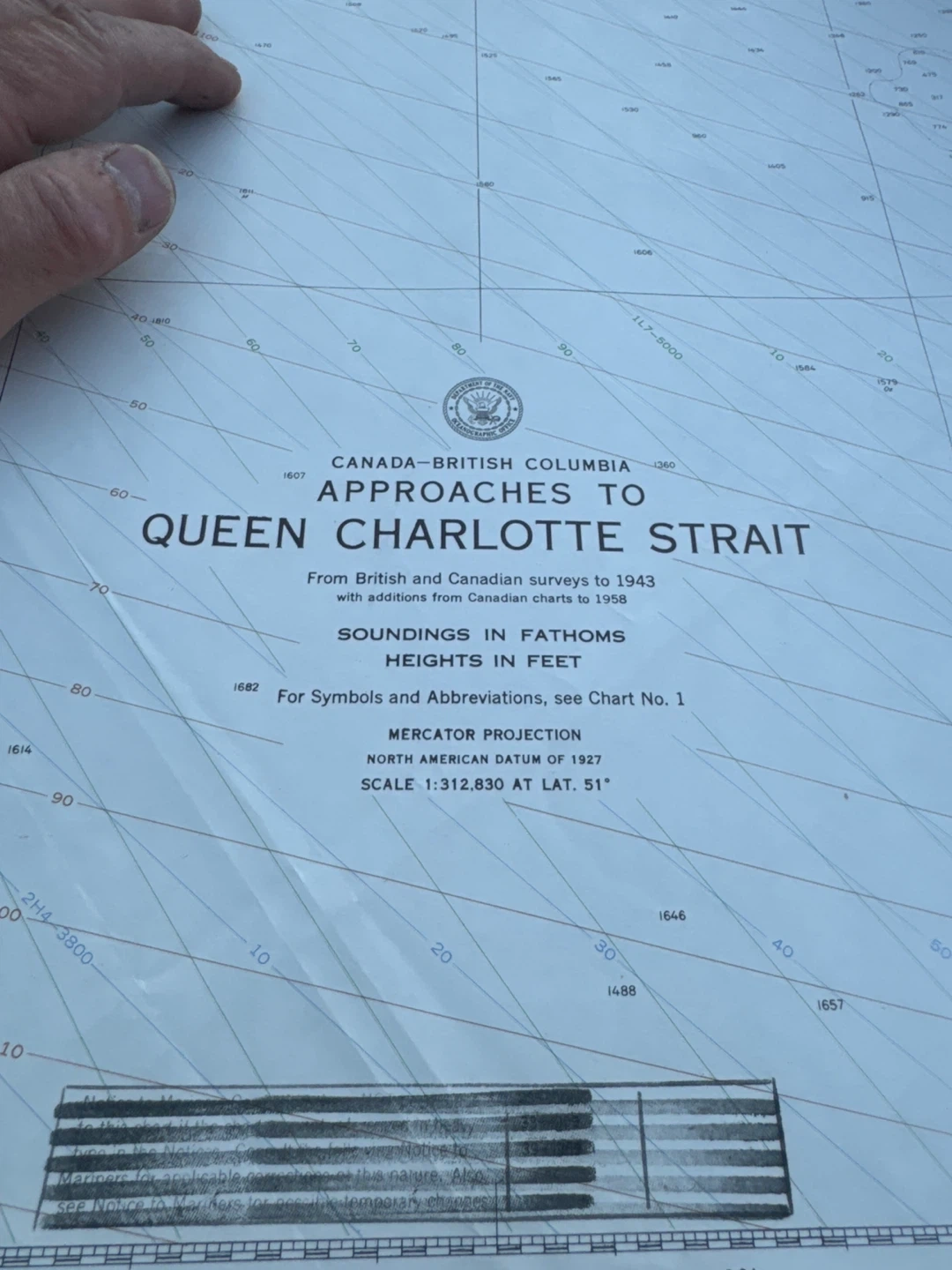
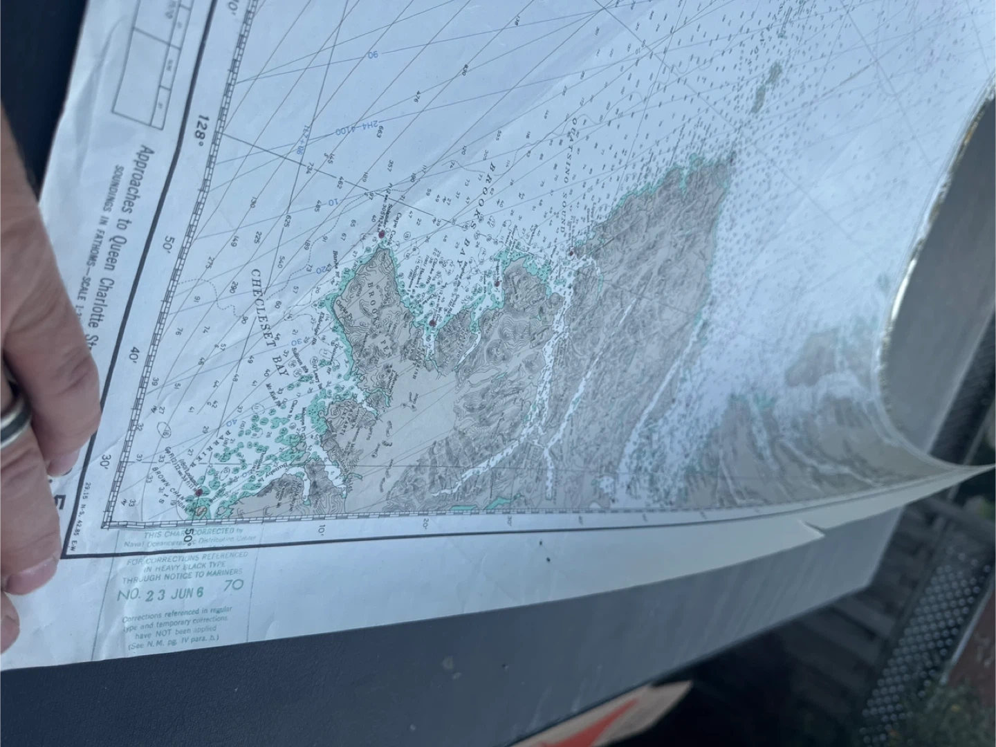
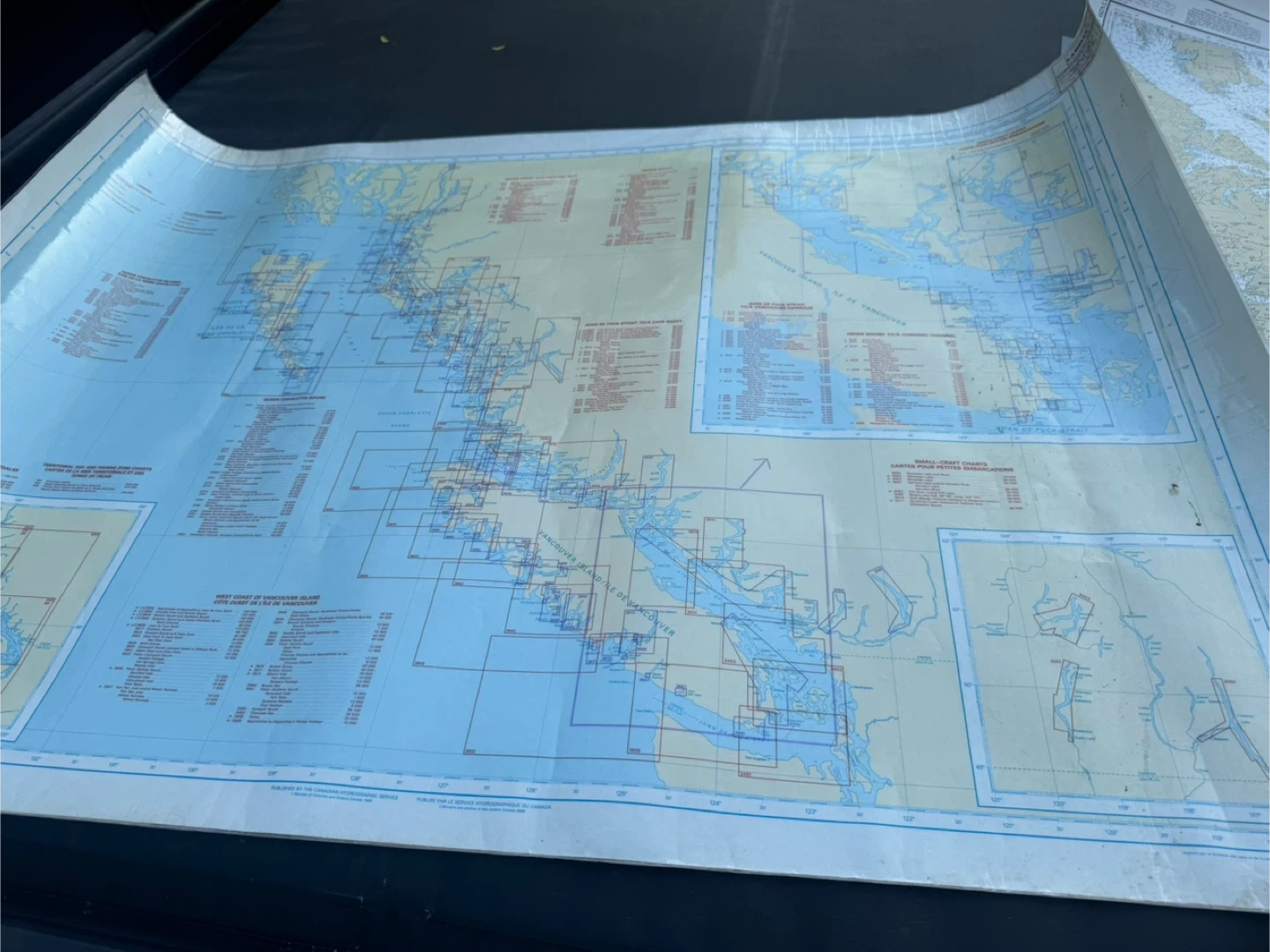
10Nautical chart of the Queen Charlotte Strait area. From British and Canadian surveys to 1943 with additions from Canadian charts to 1958. Soundings in fathoms, heights in feet. Mercator projection, North American datum of 1927, scale 1:312,830 at lat. 51°
Other listings by brett
Show all


Popular on Karrot
Show all